


Introduction:
Causeway Bay (Chinese: 銅鑼灣) is a heavily built-up area of Hong Kong, located on Hong Kong Island, and covering parts of Wan Chai District. The Cantonese name is also romanized as Tung Lo Wan as in Tung Lo Wan Road (銅鑼灣道). The rent in the shopping areas of Causeway Bay was ranked as the world's most expensive for the second year in a row, after overtaking New York's Fifth Avenue in 2012.[1] Causeway Bay borders the Eastern District. Causeway Bay includes Tsing Fung Street, Causeway Bay market, the Victoria Park, the Royal Hong Kong Yacht Club, Jardine's Noonday Gun, the Police Officers Club, Queen's College and the Hong Kong Central Library. Since 1982, two sub-districts of Causeway Bay (Causeway Bay North and Causeway Bay South) had been grouped into the Eastern District of district board elections, whilst Causeway Bay Middle was grouped with the Wan Chai District to the west. However, local government decisions—other than electoral demarcations—still affect the region as a whole. Since 1994, Hong Kong district board elections have further been sub-divided into smaller districts. The northern sector consists of the area around Victoria Park, the middle sector coincides with the central business district, and the southern sector forms the area around Tin Hau. To cope with population change, the constituency boundary between Wan Chai District and Eastern District was changed in the new year day of 2016. As a result, the Victoria Park and Tin Hau became a part of Wan Chai District starting from that day. As a consequence, the whole of Causeway Bay is now part of Wan Chai District. Regional and city-based government organisations, like the Causeway Bay Market, the fire station, and the Social Services Department are concentrated in the eastern part of the district, while business and shopping facilities are concentrated on the western part.[2] The typhoon shelter of Causeway Bay and the Tin Hau Temple reveal that the area was once a fishing village. Before urban development and massive land reclamation, Causeway Bay was a heavily silted bay. Its former shape can be found on maps by tracing Tung Lo Wan Road, which goes along the former bay. In the early stage of development a causeway was built, which is the present-day Causeway Road. In the 1950s, the coastline was further pushed forward when the remains of the bay was reclaimed for the Victoria Park, when the statue of Queen Victoria was brought back from Japan. The statue had been taken away during the Second World War from Statue Square at Chater Road, Central. Kellett Island off the coast of Causeway Bay has disappeared and connected as a result of the land reclamation. The names of Yee Wo Street, Jardine's Bazaar and Jardine's Crescent reveal that the land in this area was sold by the British colonial government to Jardines in the early 19th century. The area was therefore named East Point, after a pointed place on the coastline, east from the centre of Victoria City. The present-day Causeway Bay is usually confused with East Point, the former having assimilated the latter. The original Causeway Bay is near the present-day Tin Hau MTR station, whereas the Causeway Bay MTR station is at East Point. The present-day concept of the Causeway Bay area covers all the way until Canal Road (Canal Road East and Canal Road West), or the Canal Road district or in Chinese Ngo Keng Kiu (鵝頸橋), lit., the bridge of a goose's neck.
No.8 subway
Top Things to Do in Causeway Bay

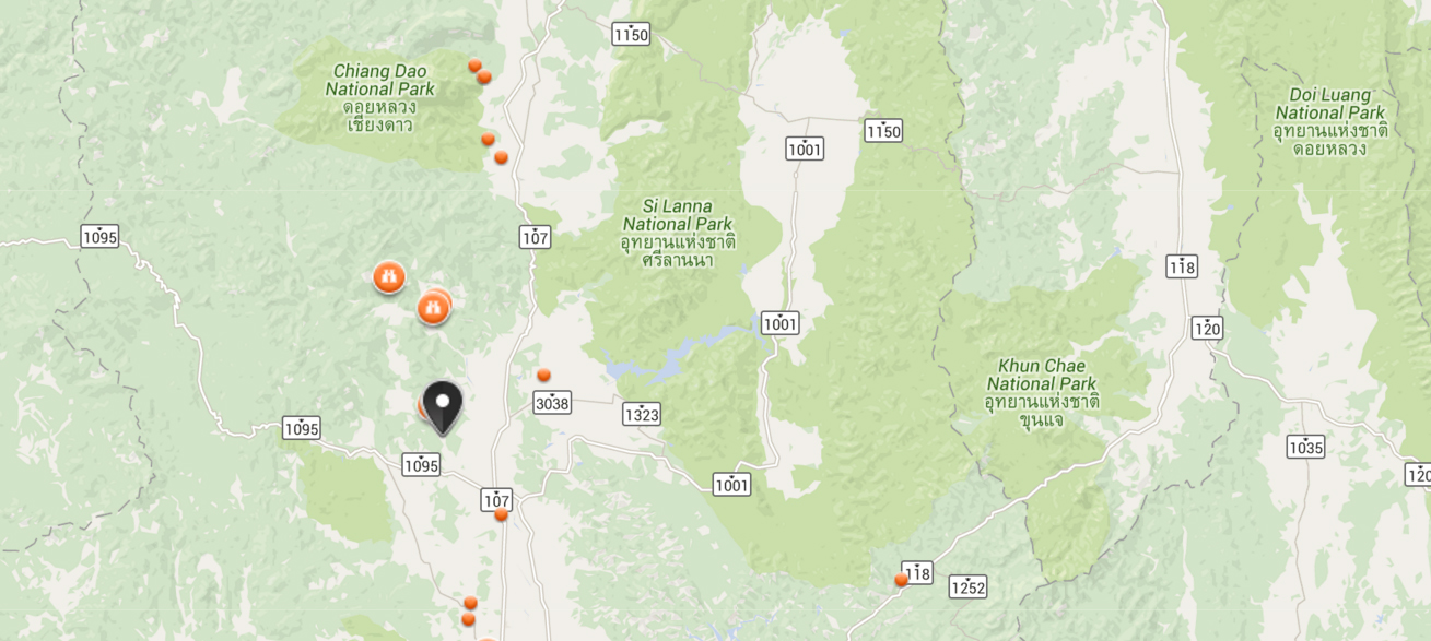
Where is Causeway Bay


Reviews (10)