Introduction:
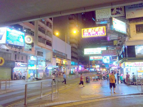
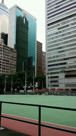
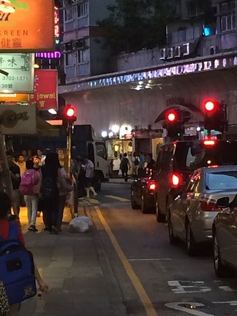
Wan Chai (/ˌwɑːn ˈtʃaɪ/ Chinese: 灣仔) is a metropolitan area situated at the western part of the Wan Chai District on the northern shore of Hong Kong Island, in Hong Kong. Its other boundaries are Canal Road to the east, Arsenal Street to the west and Bowen Road to the south. The area north of Gloucester Road is often referred to as Wan Chai North. Wan Chai is one of the busiest commercial areas in Hong Kong with offices of many small and medium-sized companies. Wan Chai North features office towers, parks, hotels and an international conference and exhibition centre. As one of the first areas developed in Hong Kong, the locale is densely populated yet with noticeable residential zones facing urban decay. Arousing considerable public concern, the government has undertaken several urban renewal projects in recent years. There are many unique landmarks and skyscrapers within the area, most notably the Hong Kong Convention and Exhibition Centre (HKCEC), Central Plaza and Hopewell Centre. Wan Chai originally began as Ha Wan (下環), literally meaning "a bottom ring" or "lower circuit".[1] As one of the earliest developed areas in Hong Kong along the Victoria Harbour, Central, Sheung Wan ("upper ring"), Sai Wan ("western ring") and Wan Chai are collectively known as the four rings (四環) by the locals. Wan Chai literally means "a cove" in Cantonese from the shape of its coastal line. The area is no longer a cove, however, due to drastic city development and continual land reclamation. Wan Chai was first home to the many Chinese villagers living along the undisturbed coastlines in proximity to Hung Shing Temple. Most of them were fishermen, who worked around the area near Hung Shing Temple overlooking the entire harbour. Hung Shing Ye, the God of the Sea, was one of the deities worshiped by the locals.[2] With the growth of the British Hong Kong administration, centred in old Victoria (modern Central), Wan Chai attracted those on the fringes of society, such as "coolie" workers, who came to live on Queen's Road East. A focal point of development at that time was Spring Gardens, a red-light zone.[3] By the 1850s the area was already becoming a Chinese residential area.[1] There were dockyards on Ship Street and McGregor Street for building and repairing ships. The edge of Sun Street, Moon Street and Star Street was the original site of the first power station in Hong Kong, operated by the Hongkong Electric Company, which began supplying power in 1890.[4] One of the first water-front hospitals was the Seaman's Hospital, built in 1843, which was funded by the British merchant group Jardine's. It was then sold to the British Royal Navy in 1873 and subsequently redeveloped into the Royal Naval Hospital. After the Second World War, the hospital was revitalised as the Ruttonjee Hospital and became one of the main public hospitals in Hong Kong.[5] The district was home to several well-known schools. One of these schools was established by the famous traditional teacher, Mo Dunmei (莫敦梅). Started as a shushu (書塾) in 1919, the school was renamed Dunmei School (敦梅學校) in 1934 after him.[6][7] It taught classical Chinese writings and Confucian ethics. In 1936, the Chinese Methodist Church (香港基督教循道衛理教會) moved its building from Caine Road, Mid-levels Central, to Hennessy Road (軒尼詩道), Wanchai, a thoroughfare of the district running from west to east.[8] This church building became the landmark of the district. In 1998, this building was demolished and replaced by a 23-storey building.
No.9 subway
Top Things to Do in Wan Chai

Where is Wan Chai


Reviews (10)