Introduction:
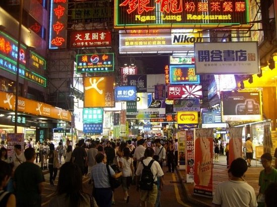
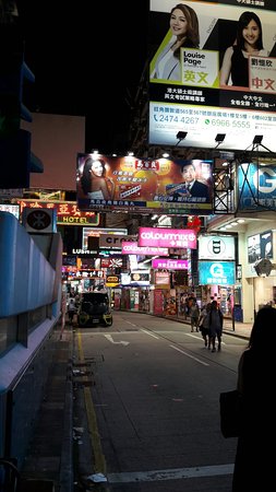
Mong Kok (also spelled Mongkok, often abbreviated as MK) is an area in the Yau Tsim Mong District, on the western part of Kowloon Peninsula in Hong Kong. The Prince Edward area occupies the northern part of Mong Kok. Mong Kok is one of the major shopping areas in Hong Kong. The area is characterized by a mixture of old and new multi-story buildings, with shops and restaurants at street level, and commercial or residential units above. Major industries in Mong Kok are retail, restaurants (including fast food) and entertainment. It has been described[1] and portrayed in films as an area in which triads run bars, nightclubs, and massage parlors. With its extremely high population density of 130,000/km2 or 340,000 per square mile, Mong Kok was described as the busiest district in the world by the Guinness World Records.[2] Until 1930, the area was called Mong Kok Tsui (芒角嘴).[3] The current English name is a transliteration of its older Chinese name 望角 (Jyutping: mong6 gok3; IPA: [mɔːŋ˨ kɔːk˧]), or 芒角 (Jyutping: mong4 gok3; IPA: [mɔːŋ˨˩ kɔːk˧]), which is named for its plentiful supply of ferns in the past when it was a coastal region. Its present Chinese name "旺角" (Jyutping: wong6 gok3; IPA: [wɔːŋ˨ kɔːk˧]), means "prosperous corner" or "crowded corner." For a period, the area was also called Argyle, and this name was used for the MTR station when it opened in 1979. The office building 旺角中心; "Mong Kok Centre", which was named after the area, is known in English as Argyle Centre rather than Mong Kok Centre. Mong Kok is part of Yau Tsim Mong District. It was part of the Mong Kok District before the district was merged in 1994. The area belongs to the Kowloon West geographical constituency of the Legislative Council of Hong Kong. Displays at the Chinese University of Hong Kong include antique potteries indicating that there might have been settlements in the area as early as the Jin Dynasty (265-420).[4] The area used to be a Hakka settlement, with about 200 villagers according to Bao'an records in 1819.[5] The heart of the present-day Mong Kok is along Argyle Street near Sai Yeung Choi Street whilst the proper Mong Kok used to be[when?] to the north, near the present-day Mong Kok East Station. Mong Kok was an area of cultivated lands, bounded to the south by Argyle Street, to the west by Coronation Road (a section of present-day Nathan Road), and to the east by hills. To the southeast of Mong Kok is Ho Man Tin and to the west Tai Kok Tsui.
No.2 subway
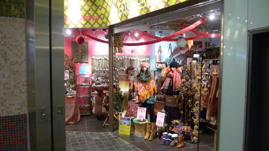
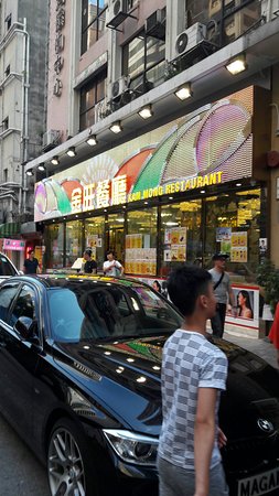
Top Things to Do in Mongkok

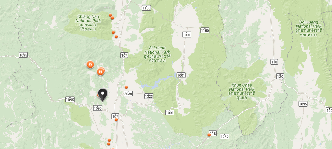
Where is Mongkok


Reviews (10)