


Introduction:
Tung Ping Chau (Chinese: 東平洲) is an island in Hong Kong. It was known as Ping Chau (Chinese: 平洲). Tung (Chinese: 東, meaning east) is prepended to the name so as to avoid possible confusion with Peng Chau, another island in Hong Kong with an identically pronounced name in the Cantonese language. Administratively, the island is part of the Tai Po District in the New Territories. Geographically, Ping Chau is an offshore island located in the northeast corner of Hong Kong in Mirs Bay,[1] close to the border with Guangdong Province in mainland China. The island has an area of 1.16 km²[2] and consists of shale rock. The island is the most easterly point of the Hong Kong territory and is much closer to mainland China (4 km) than to the main landmass of Hong Kong. It is close to Nan'ao of Dapeng. The island has the shape of a kidney bean with its concave side facing northeast. Its name "Ping Chau" means "flat island" in Chinese.[3] The highest points on the island are 48 metres (157 feet) in the south and 37 metres (121 feet) in the north. The eastern inner shore of the crescent hugs Ping Chau Hoi (平洲海) with a few beaches, including Cheung Sha Wan (長沙灣) in the northeast. In contrast, the western coast of the island is fairly rocky as a result of the greater wave action taking its toll on the inclined siltstone there. The island's largest village, Sha Tau (沙頭), is something of a ghost town, with many cottages boarded up. A large part of the island is country parkland,[4] with footpaths overgrown with orchids, wild mint, and morning glories.[5] Ping Chau has a checkered history. Guns and opium were once smuggled from here, and during the Cultural Revolution many mainlanders swam in hopes of reaching Ping Chau and the freedom of Hong Kong.[5][6] The now virtually deserted island was once home to a thriving fishing and farm community of 3,000 people,[7] with over 100 fishing junks.[8] Historical villages of Ping Chau included the five oldest: Chau Mei (洲尾), Chau Tau (洲頭), Nai Tau (奶頭), Sha Tau (沙頭) and Tai Tong (大塘), as well as five other smaller family villages, which were subsequently developed: Chan Uk (陳屋), Lam Uk (林屋), Lei Uk (李屋), Tsau Uk (鄒屋) and Tsoi Uk (蔡屋).[9] The village of Chau Mei was settled by fishermen who sold their catch at Tai Po Market and at Shayuchong (沙魚涌), a coastal village now part of the Longgang District of Shenzhen.[8] During the Japanese occupation of Hong Kong (1941-1945), Ping Chau was used as a logistics base for the supply of military resources, including petrol, to the Chinese army. Several allied military leaders were transported to the mainland via the island.[8] In the 1950s, there were about 1,500 people living in the ten villages on the island.[7] Two primary schools were built: Kwan Ying School (群英學校) in Tai Tong and Wai Sun School (維新學校) in Chau Tau.[10] At that time, the economy of the island deteriorated due to the depletion of fishery resources and the termination of trade with the mainland as a consequence of the Korean War (1950-1953).[8] During the Cultural Revolution (1966-1976), political turmoil cut off commerce with the mainland and most villagers moved away.[7] By the early 1970s, only a few elderly people remained on the island.[11] In 2004, the last permanent resident moved out of Tung Ping Chau.[citation needed] Some may return on weekends.[7] In 2013, the District Offices estimated that Tung Ping Chau had a population of 8.[12]
No.7 subway
Top Things to Do in Tung Ping Chau

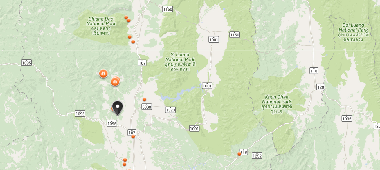
Where is Tung Ping Chau


Reviews (10)