Introduction:
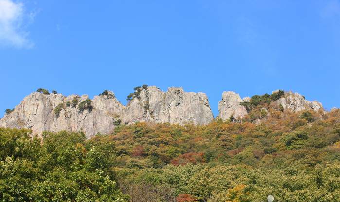
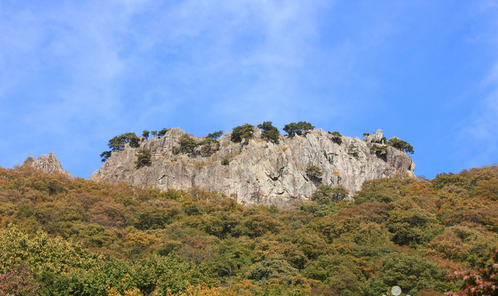
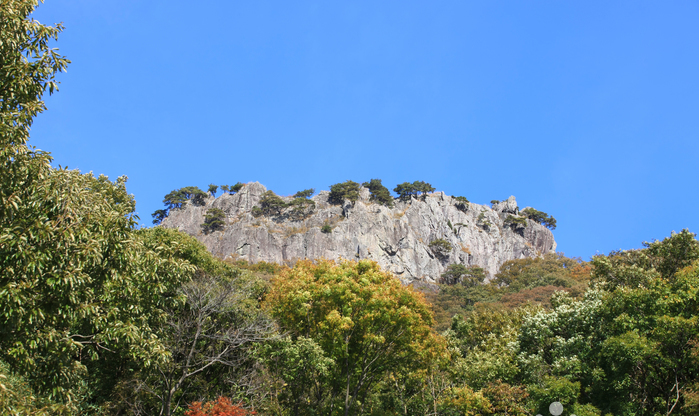
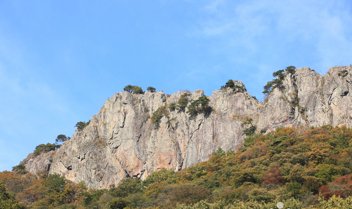
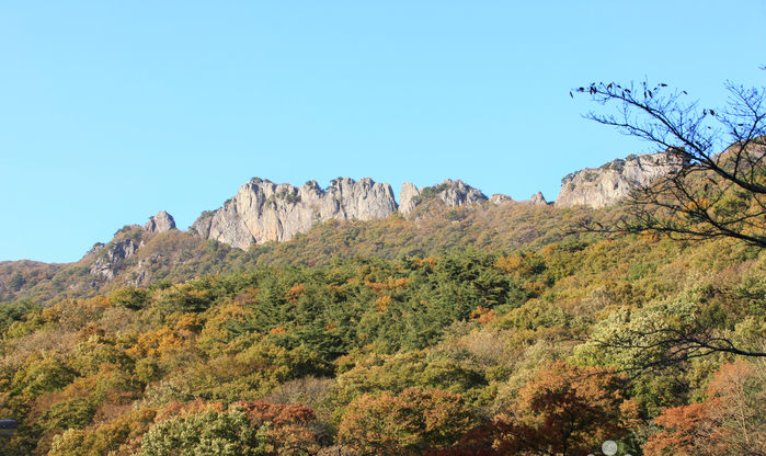
Located in the northern part of Naejangsan park, Seoraebong Peak is named after a farming tool that in the past was used to plow land. Either side of the peak stretch rocky cliffs that blaze red with autumn foliage. Seoraebong Peak’s picturesque locatio
Directions From Jeongeup Bus Terminal, take Bus 171 to Naejangsan National Park (내장산).
Tel:
• 1330 Travel Hotline: +82-63-1330
(Korean, English, Japanese, Chinese)
• For more info: +82-63-538-7875
Information:
Located in the northern part of Naejangsan park, Seoraebong Peak is named after a farming tool that in the past was used to plow land.
Either side of the peak stretch rocky cliffs that blaze red with autumn foliage.
Seoraebong Peak’s picturesque location makes it particularly popular with hikers.
A good hiking trail that takes you to Seoraebong and other highlights of Naejangsan Park starts at Iljumun Gate, and passes by Byeongnyeogam Rock, Seoraebong Peak, Bulchulbong Peak, Wonjeogam Rock, and Naejangsa Temple before turning back to Iljumun Gate.
The hike takes about 3 hours.
Telephone: +82-63-538-7875~6 Hiking Course Seoraebong Peak Course Iljumun → Byeongnyeonam → Seoraebong Peak → Seorae Samgeori (three-way intersection) → Bulchulbong Peak → Wonjeogam → Naejangsa Temple → Iljumun * Besides Seoraebong Course, Naejangsan Mountain has many hiking courses (refer to the homepage).
Top Things to Do in Seoraebong Peak

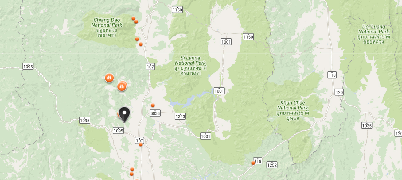
Where is Seoraebong Peak
전라북도 정읍시 내장산로 936 (내장동)


Reviews (10)