


Introduction:
The Byeonsanbando Peninsula has a shoreline that stretches 99 kilometers, protruding into the west sea in Jeollabuk-do, with the Saemangeum, the world’s longest man-made sea barrier, to the north and Gomsoman Bay at its south shore. The peninsula is part
Directions From Seoul Central City Bus Terminal (Express Bus Terminal Station, Subway Line 3,7,9),take an intercity bus to Buan Intercity Bus Terminal.From Buan Terminal, take a bus bound for Gyeokpo (격포). Get off at Geokpo Terminal (격포터미널).
Tel:
• 1330 Travel Hotline: +82-2-1330
(Korean, English, Japanese, Chinese)
• For more info: +82-63-582-7808
+82-63-584-8186, +82-63-583-2443,
+82-63-583-2064
Information:
The Byeonsanbando Peninsula has a shoreline that stretches 99 kilometers, protruding into the west sea in Jeollabuk-do, with the Saemangeum, the world’s longest man-made sea barrier, to the north and Gomsoman Bay at its south shore.
The peninsula is part of Byeonsanbando National Park, which is widely known for its natural beauty.
Its interior mountain range is known as Naebyeonsan Mountain (Inner Byeonsan Mt.) while the outer region near the sea is known as Oebyeonsan Mountain (Outer Byeonsan Mt.).
The center of Mt.
Naebyeonsan includes the highest peak of Byeonsanbando peninsula, Uisangbong Peak (509 meters) and Nakjodae (Sunset Viewpoint), Wolmyeongam Hermitage, Bongnaegugok Valley as well as Jiksopokpo Waterfall.
The surrounding mountains and valleys of Mt.
Byeonsan are not particularly high, standing at an altitude of around 500-600 meters, but the magnificent formation of mountains and valleys as well as the breathtaking view of the sunset from Nakjodae make it a must-see sight. The center of Mt.
Naebyeonsan is the area that includes the highest peak of Byeonsanbando peninsula, Uisangbong Peak (509 meters) and Nakjodae (Sunset Viewpoint), Wolmyeongam Hermitage, Bongnaegugok Valley as well as Jiksopokpo Waterfall.
The surrounding mountains and valleys of Mt.
Byeonsan are not particularly high, standing at an altitude of around 500-600 meters, but the magnificent formation of mountains and valleys and the breathtaking view of the sunset from Nakjodae is especially one of the must-see sights.
Telephone: +82-63-584-7807 Mountain Not Access Period ※TBD by park directors based on fire weather advisories, snow/precipitation levels, and other local conditions. Restricted Mountain
Areas * Sajadong 사자동 ~ Gamaso 가마소 ~ Udongni 우동리 (7.4km)* Badeujae 바드재 ~ Yonggakbong Peak Samgeori (3-way Junc.) 용각봉삼거리 (1.9km)* Sebong Peak Samgeori (Three-way Intersection) 세봉삼거리 ~ Gamaso 가마소 (1.9km)* Sebong Peak 세봉 ~ Injangam 인장암 (1.5km)* Manseokdong 만석동 ~ Gambul 감불 (3.8km)* Eosudae 어수대 ~ Soeppulbawi Rock 쇠뿔바위 ~ The entrance to Naebyeonsan Mountain Prayer House 내변산기도원입구 (6.8km)
Areas Open to the Public * Wonam 원암 ~ Namyeochi 남여치 (7.8km)* Naesosa Temple 내소사 ~ Jaebaegi Pass 재백이고개 (2.1km)* Sajadong 사자동 ~ Bongnaegok Three-way Intersection 봉래곡삼거리 (1.4km)* Gyeokpo 격포 ~ Dalgibong Peak 닭이봉 (0.8km)* Naesosa Temple 내소사~ Gwaneumbong Peak 관음봉 ~ Sebong Peak 세봉 ~ Iljumun 일주문 (4.0km)* Gaeamsa Temple 개암사 ~ Ugeumam 우금암 ~ Manseokdong 만석동 (5.3km)* Gosapo 고사포 ~ Jungmak 죽막 (2.9km) Hiking Course >> Click here for details
Top Things to Do in Naebyeonsan Mountain

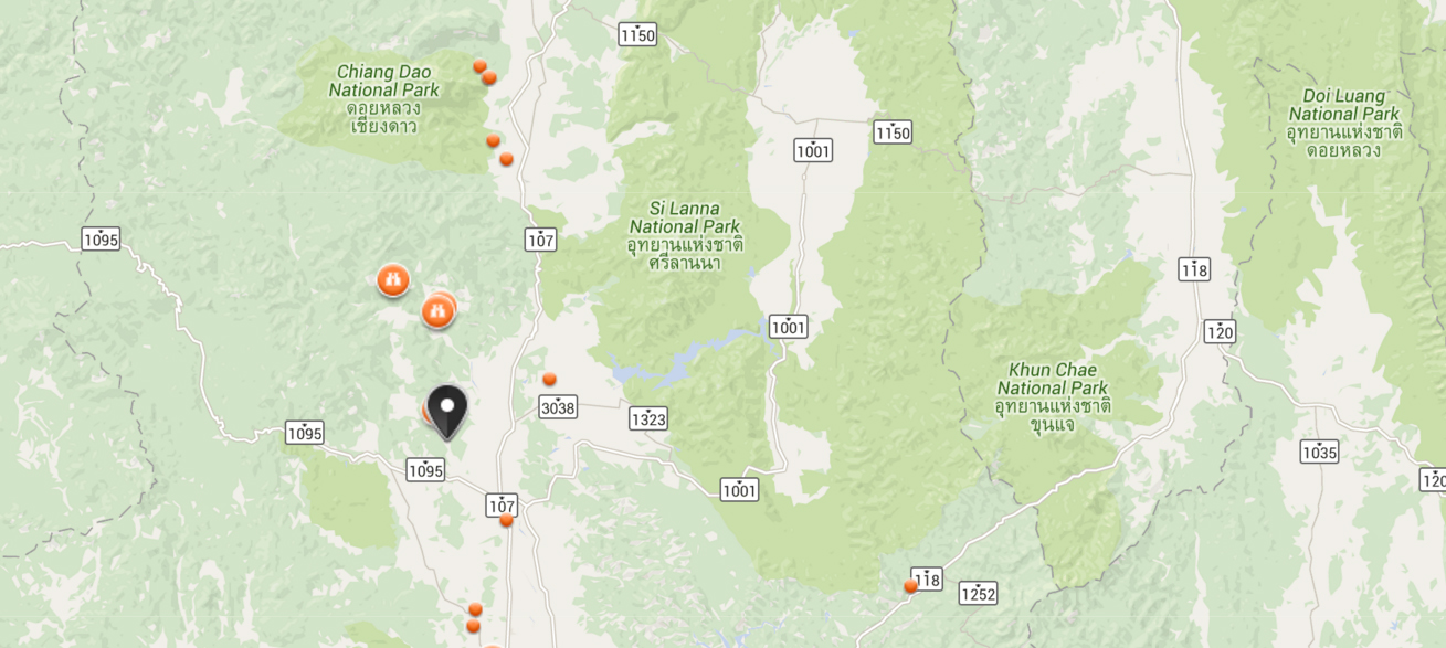
Where is Naebyeonsan Mountain
전북 부안군 변산면 , 진서면, 상서면, 하서면


Reviews (10)