Introduction:
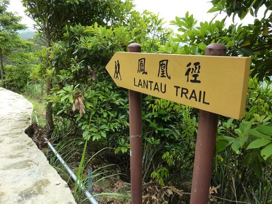
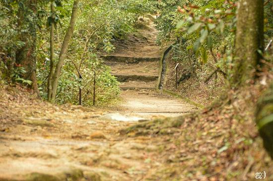
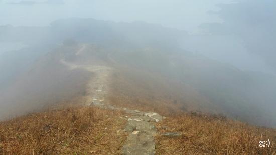
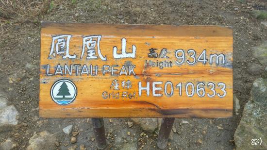
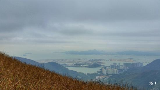
The Lantau Trail (Chinese: 鳳凰徑), opened on 4 December 1984, is a long-distance footpath on Lantau Island in the New Territories of Hong Kong. The 70 kilometres (43 mi) trail is a loop starting and finishing in Mui Wo. The Lantau Trail has good visitor facilities along the way, and the route is well marked. There are information boards and maps at junctions between each stage. Distance Posts 500 metres apart help hikers know exactly where they are. At each turning, route signs give clear instructions about directions, place names, and the distances and times for hiking between various places.[1] The Lantau Trail has 12 stages.[1] There are distance posts, numbered 000 through 140, every 500m: Easy Walk Fairly Difficult Very Difficult 1 Path is rerouted. The Section 4/5 changeover appears now to occur very close to the Ngong Ping 360 cable lift. Section 5 for the most part follows Ngong Ping Road from Ngong Ping 360 to the start of Section 6. As of December 2013, Google Maps does not have the correct route in its database. 2 Path is partially closed. An alternative route has been suggested. The current routing leaves it unclear if the Section 4/5 changeover is near distance post 027 or distance post 030. The previous changeover was at 027. For easiest access to/from Ngong Ping and Ngong Ping 360, follow the trail to distance post 030. Once at the cable car station, follow the pedestrian shopping mall in the direction of the Tian Tan Buddha for around 200m, watching on the right for a poorly displayed Lantau Trail sign pointing hikers downhill along Ngong Ping Road. The new Section 5 follows the road all the way to Section 6. The trail crosses private land at Yi O Village[2] and access is officially closed (as verified in December 2013). Along the trail is posted the following message:
No.5 subway
Top Things to Do in Lantau Trail

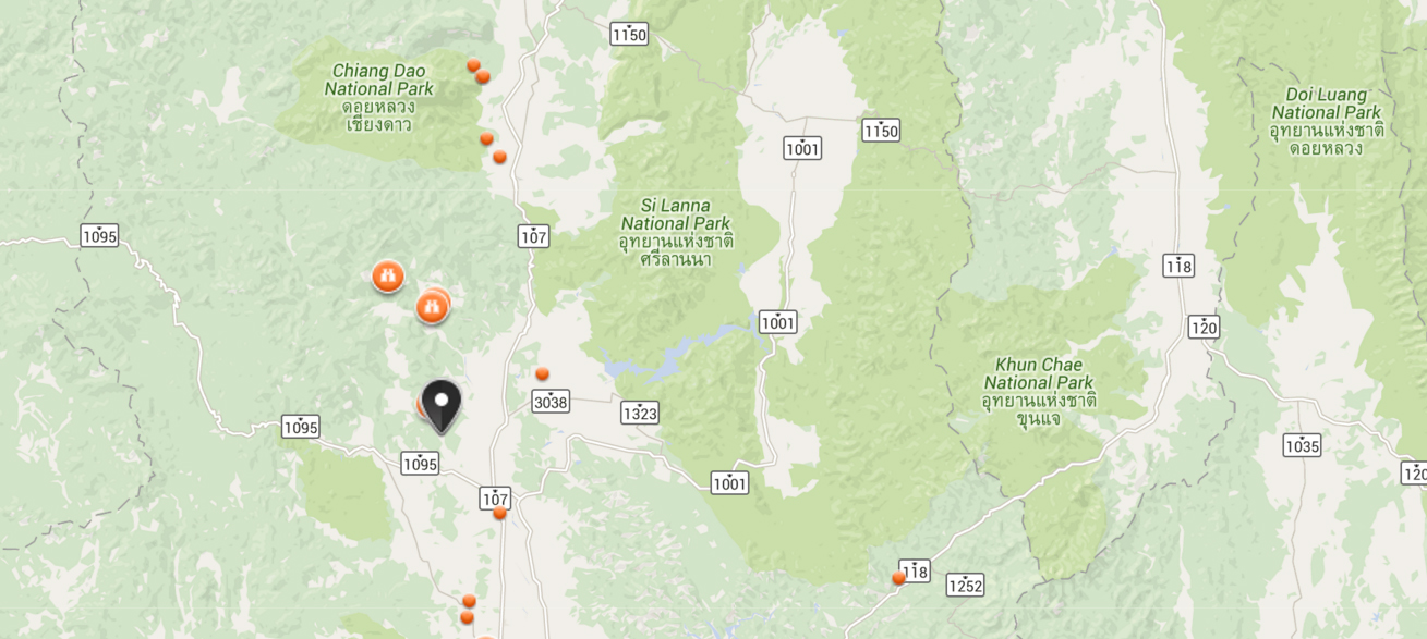
Where is Lantau Trail


Reviews (10)